Remote Sensing for Forest Landscapes
Employ RS in Forestery Applications
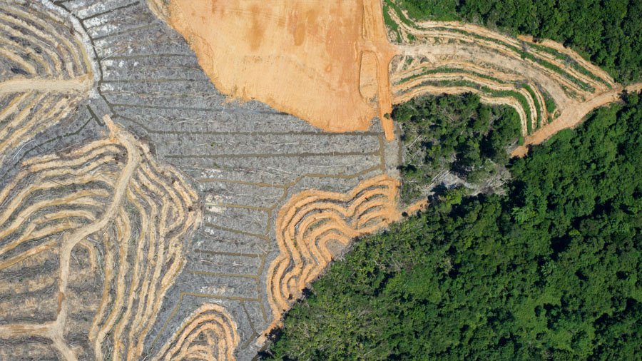
Remote sensing provides valuable insights into pressing environmental challenges and is a critical tool for driving solutions. In this Primer, we briefly introduce the important role of remote sensing in forest ecology and management, which includes applications as diverse as mapping the distribution of forest ecosystems and characterizing the three-dimensional structure of forests. We describe six key reasons why remote sensing has become an important data source and introduce the different types of sensors (e.g., multispectral and synthetic aperture radar) and platforms (e.g., unmanned aerial vehicles and satellites) that have been used for mapping a diversity of forest variables.
To read more, click here