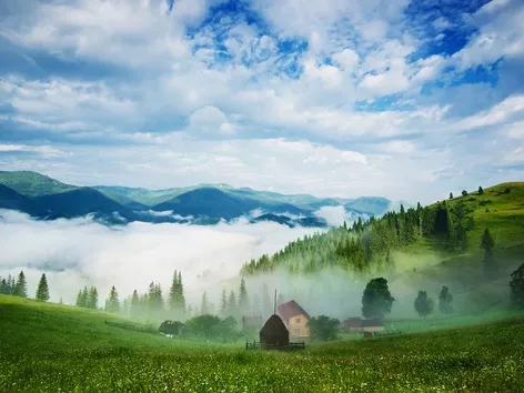
Most of the territory of Ukraine belongs to the southwestern outskirts of the East European Plain and has a flat and hilly terrain, only in the south the Crimean mountains rise, and in the west - the Ukrainian Carpathians. The relief of Ukraine is relatively diverse. Lowlands occupy about 70% of the territory, elevations - 25%, mountains - 5%.

Ukraine is washed by the Black and Azov seas. The majority (about 96%) of
the country’s rivers belong to the basins of these seas.
The highest point of Ukraine is Mount Hoverla (2061 m) in the Carpathians, the most
low-lying areas are on the coast of the Black and Azov seas. Ukraine has a
rich mineral and raw materials potential.
The wealth of the mineral
resources of the country is due to the peculiarities of the geological
structure of its territory. Within the country, all major geostructural
zones of the Earth’s crust are found. The country can be divided into
several vegetation-soil zones. Northern Ukraine is primarily a forest
zone, with pine and oak trees predominating. The forest-steppe zone,
located just to the south of the forest zone, is capable of sustaining
agriculture. This zone is the most fertile area, it is particularly rich
in black earth called “chernozem”. The zone of fertile soils stretches
from west to east across the southern and central Ukraine. Its intense
cultivation has made Ukraine a large producer of wheat and sugar beets.